Data Integration: Unravelling value in existing data
A primary objective of the MBON is to integrate data collected from existing marine monitoring efforts. While time series data of marine biodiversity has been collected extensively over the years, most datasets are site specific, target particular habitats or key groups of species, and are not linked.
To make this extensive collection of information useful to our understanding regional and global shifts in biodiversity and ecosystem services -- resulting from climate change, pollution, fishing, and other regional- to global-scale impacts -- these data sets must be integrated with one another. Combining biological data with physical data, SCB MBON aims to analyze the physical drivers of marine biodiversity.
These integrated data sets are expeceted to improve the capacity for science-based decisions, which affect marine ecosystems and the services they provide.
Biological data
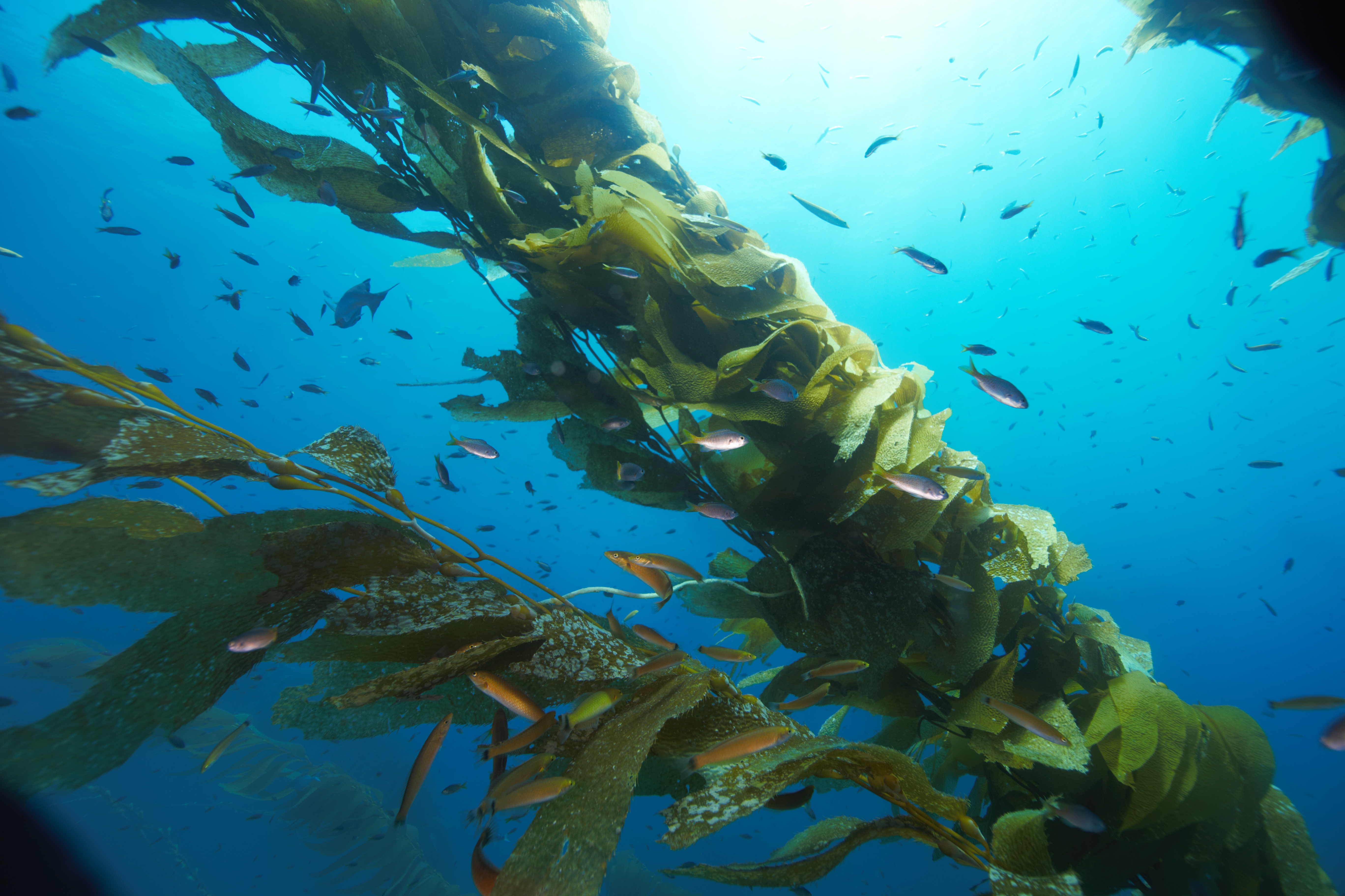
For 30+ years 4 different research groups have collected data on subtidal biodiversity in nearshore communities in the Santa Barbara Channel. SCB MBON has integrated the data of fishes, invertebrates and algae from 173 of the monitored sites, allowing for the analysis of abundance of fish, invertebrates, and algae with much higher spatial and temporal resolution than was previously possible.
Additionally, to facilitate data synthesis, SCB MBON is developing a taxonomic database to enable comparison of biodiversity data from different sources. This taxonomic database is scalable to accommodate the integration of taxa from additional data sets.
Physical data
To understand regional patterns of marine biodiversity, SCB MBON focuses on physical data for which there is continuous coverage within the region. The data includes:
- bathymetry and substrate data derived from sonar surveys
- sea-surface temperature, chlorophyll and local kelp canopy derived from satellite imagery
- wave disturbance and ocean current data derived from regional models
- data on the shape of the coastline calculated from maps